Karst, Voids and Sinkholes: What NWA Homeowners Should Know
The limestone under Northwest Arkansas has been dissolving for millions of years. What that means for your foundation, how to tell a sinkhole from ordinary settlement, and when to actually worry.
Why this region has caves and springs
Northwest Arkansas sits on the Springfield Plateau and the Boston Mountains, both dominated by limestone. Rainwater picks up carbon dioxide from the air and soil and becomes mildly acidic, and over geological time that weak acid dissolves limestone along fractures and bedding planes.
The result is karst terrain: a landscape of caves, springs, sinking streams, irregular pinnacled bedrock and voids of various sizes. It is why this region has the cave systems and springs it is known for. It is also a background condition every foundation here sits on top of.
This is worth understanding without alarm. Karst is normal here, the overwhelming majority of properties never experience a problem from it, and it is a manageable engineering condition rather than a hazard hanging over the region.
What karst actually does to foundations
Three things, in descending order of how often we encounter them.
First and most commonly, it makes water behave unpredictably. Karst creates preferential flow paths, so water can travel laterally through seams and appear somewhere with no apparent connection to where it entered. This is why a basement in Rogers can take water on one wall with a perfectly dry, well-graded yard above it.
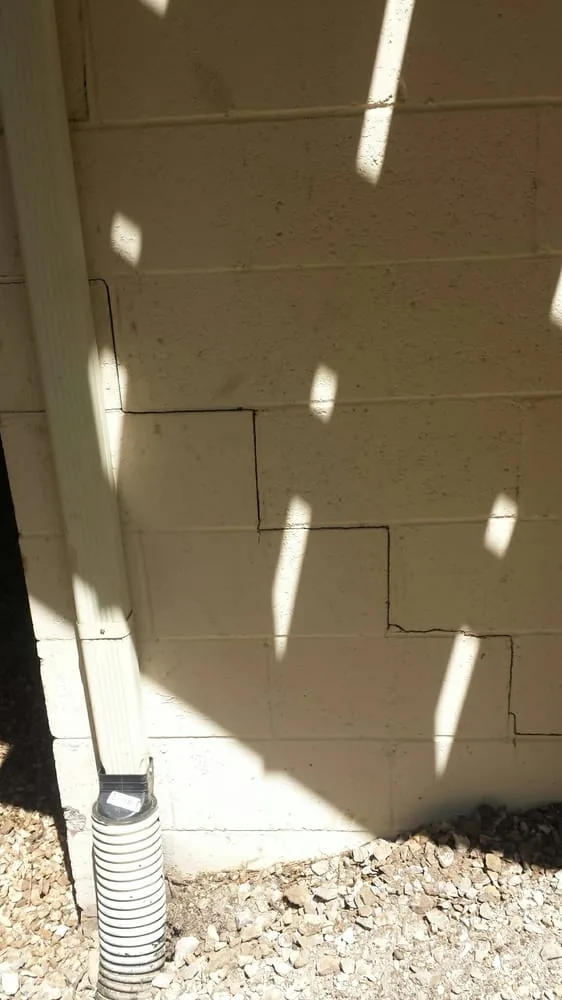
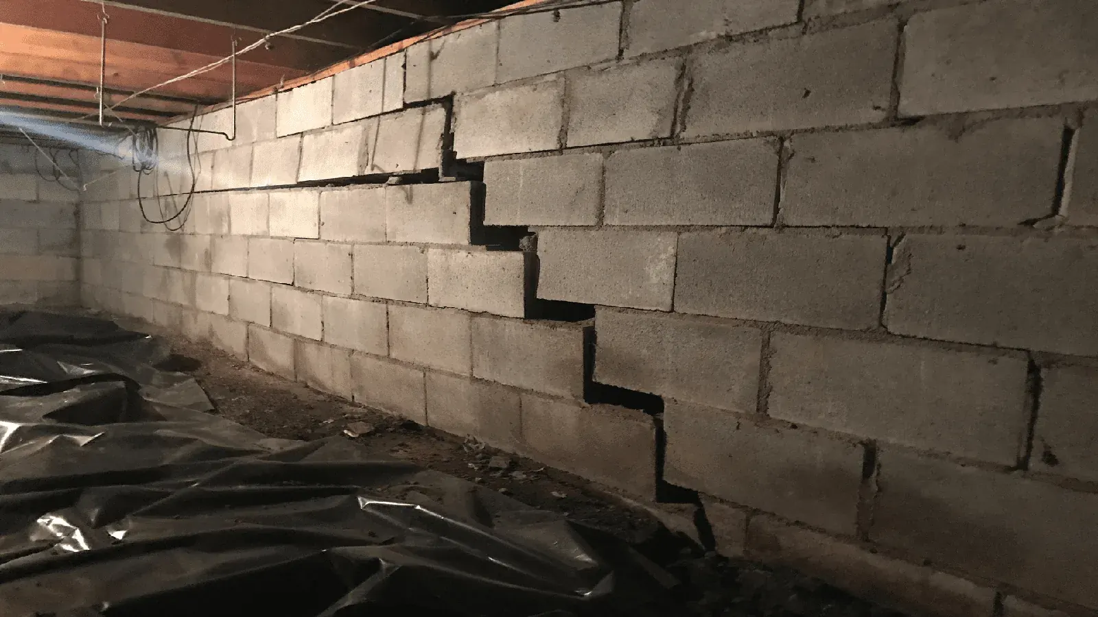
Second, it produces irregular bedrock. Instead of a level rock surface at consistent depth you get pinnacles and troughs, so one part of a footing may bear on rock while an adjacent part bears on soil continuing down several more feet. That differential support cracks foundations.
Third, and least commonly, it produces voids that can migrate upward through the soil above them.
How a cover-collapse sinkhole actually forms
The dramatic sinkhole is a cover-collapse, and despite appearances it does not happen all at once. A void exists in the bedrock. Soil above it gradually washes or ravels down into that void, forming a cavity in the soil that slowly enlarges upward while the surface stays intact, bridged by soil arching and root structure.
Eventually the bridge is too thin to support itself and the surface drops. The collapse is sudden; the process that produced it took years or decades.
The practical implication is that the ground almost always gives warning before it gives way. Sudden collapse with no prior indication is rare.
The warning signs worth knowing
A circular or oval depression forming in the yard, particularly one that deepens after heavy rain.
Vegetation in a defined circular patch that wilts faster in dry weather, or stays greener in dry weather — both indicate the soil profile there differs from its surroundings.
Water that suddenly ponds where it never did, or a low spot that used to hold water and now drains away quickly. The second is more concerning, because it means water has found a new path downward.
Fence posts, deck footings, retaining wall sections or light poles that tilt or drop relative to their neighbours.
A slumping or fresh circular crack in pavement or a driveway.
Localised structural distress that does not match the seasonal pattern of the rest of the house.
How to tell it from ordinary settlement
Ordinary clay settlement is broad, follows the seasons, and usually corresponds to something visible: drainage, a tree, the fill side of a graded lot. On an elevation survey it produces smooth bowls.
Karst-related movement is localised, often circular in plan, and does not follow the seasonal wet-dry rhythm. On an elevation survey it produces a sharp defined dip rather than a gradual slope.
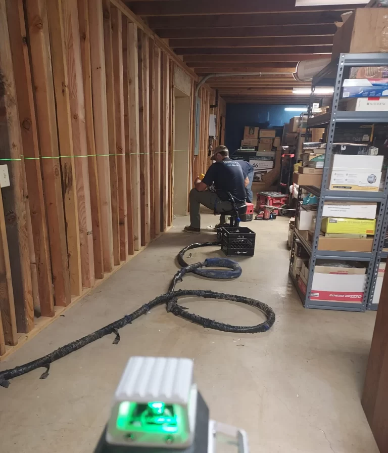
That difference is exactly why the elevation survey matters. The shape of the contour tells you a great deal about the mechanism before anyone drills anything.
What investigation involves
Where karst is suspected, investigation goes beyond a surface assessment. Test borings on a grid around the suspect area establish depth to rock and whether voids or unusually soft zones exist. On larger or commercial sites, geophysical methods such as electrical resistivity or ground-penetrating radar can map anomalies over a wider area before drilling.
Probing on a close grid is a lower-cost middle option for a residential lot: a rod or small-diameter drill advanced at intervals to find where competent material starts and whether that depth varies erratically.
How karst gets remediated
For voids in the soil above bedrock, compaction grouting is standard: a stiff grout injected under pressure to fill the cavity and densify the surrounding soil.
For a throat connecting soil to a rock void, the fix is to plug the connection — commonly a graded filter of progressively finer aggregate that lets water pass while preventing soil from continuing to migrate down.
For structures, the answer is usually to stop relying on the questionable material entirely and transfer load to competent strata with deep foundations. Helical piers are frequently the right tool, because installation torque tells you continuously what capacity you are developing as you advance, rather than relying on a refusal reading that might be a rock ledge with a void beneath it.
The part homeowners control
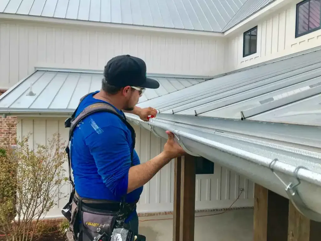
Concentrated water is what mobilises soil into voids. That puts a surprising amount of the risk within ordinary maintenance: gutters that do not overflow, downspouts discharging well away from the structure, no ponding against the foundation, and prompt attention to any underground leak.
In karst terrain the usual drainage advice is not only about clay movement. It is about not creating a concentrated flow path into ground that has cavities in it.
When to call and when not to
Do not panic about a shallow depression in a corner of the yard — most are old stump holes, settled utility trenches or backfill consolidation. Do take seriously any depression that is enlarging, deepening after storms, circular, or accompanied by structural distress.
Our forensic evaluations are directed by a Ph.D. civil engineer whose doctoral focus was rock mechanics and deep foundation systems, which is a genuinely relevant specialism in this particular geology. If something in your yard or your house has you uncertain, an inspection is free and will tell you which of the two situations you are in.
(479) 225-4899.
Want this looked at by someone who does it every day?
Free inspections across Fayetteville, Springdale, Rogers, Bentonville and Bella Vista — elevation measurements, photographs and a fixed written price, with no obligation.